


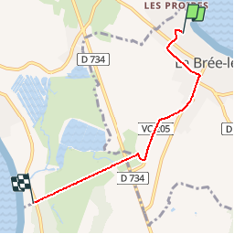

12,6 km | 13,3 km-effort

Utilisateur


Application GPS de randonnée GRATUITE
 SityTrail
IGN / Instituts géographiques
SityTrail World
Le monde est à vous
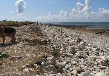
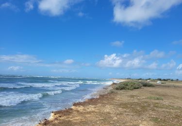
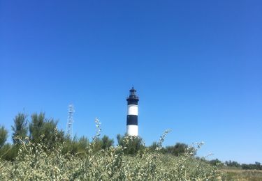
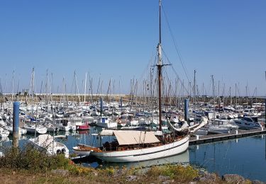
Randonnée Vélo de 4,4 km à découvrir à Nouvelle-Aquitaine, Charente-Maritime, La Brée-les-Bains. Cette randonnée est proposée par noart.
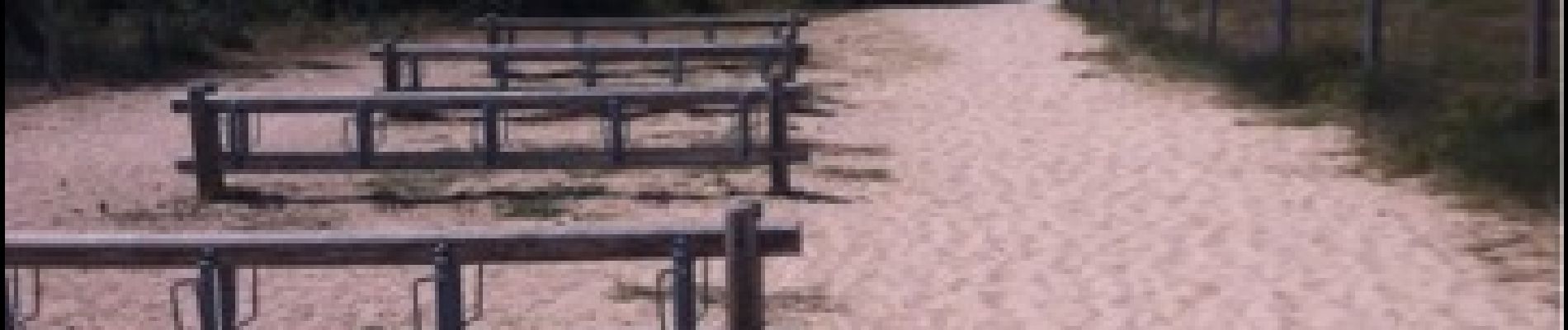
Camping d'antioche d'oleron arrivee plages des huttes


Marche
Marche
V.T.T.
Marche
Cyclotourisme
Marche
V.T.C.
V.T.C.
Marche